
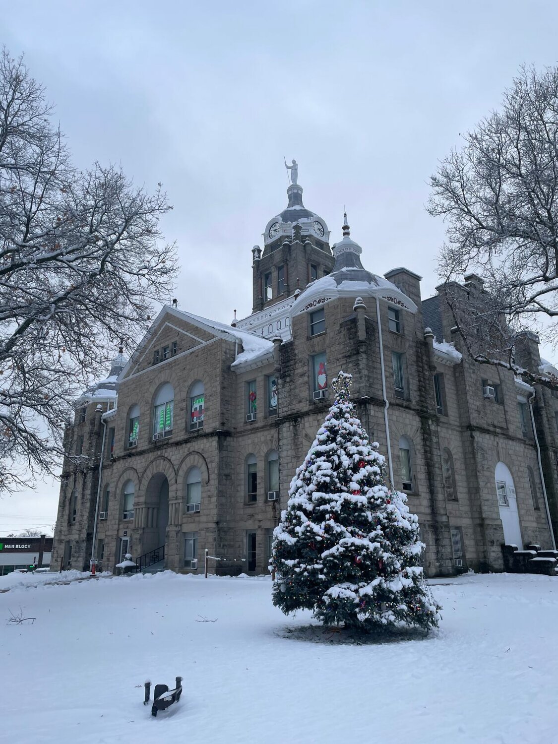
The first snowfall of 2024 will be quickly followed by a second, with snow in the forecast again this week.
According to the Hazardous Weather Outlook from the National Weather Service, another winter system with accumulating snowfall will affect portions of the region late Thursday, Jan. 11 into Friday, Jan. 12. The hazardous weather outlook is for northwest, north central and west central Missouri, as well as extreme eastern Kansas.
According to Thursday’s NWS weather briefing, some uncertainty still remains regarding exact snow amounts and locations. NWS states that northwest winds gusting to 35 to 45 mph on Friday could create areas of blowing and drifting snow. Minor ice accumulations Friday morning may cause some slick spots.
The snow will be accompanied by bitterly cold temperatures that are expected to continue into early next week. NWS states that near-record lows and near-record cold highs are possible.
Thursday night in Warrensburg had a 60% chance of rain, followed by a 50% chance of rain and snow before 8 a.m. along with patchy fog until 11 a.m. Friday. Total precipitation amounts are expected to be less than an inch. Temperatures will fall to around 17 degrees by 4 p.m. with wind chill values between -1 and 9. There will be blustery wind ranging from 14 to 24 mph, with gusts as high as 37 mph. Friday night, the low will be around 4, with wind chill values between -2 and -11.
Saturday, Jan. 13 will have a high near 11 and a low around -7. There is a 20% chance of snow after midnight. Winds will be 13 to 16 mph, with gusts as high as 24 mph. Sunday, Jan. 14 will look very similar with a 30% chance of snow after noon and a 40% chance before midnight. The high will be near 4 and a low around -9.
The beginning of the week will only get colder. On Monday, Jan. 15, Martin Luther King Jr. Day, the high will be near 6 with a low around -8 and a 30% chance of snow after noon. Tuesday, Jan. 16 doesn’t have any precipitation forecasted, but the high will be near 13 with a low around 5.
On Wednesday, Jan. 17, temperatures will see a significant increase, although still chilly, with a high near 29. Unfortunately, the dangerously cold temps will quickly return late next week, according to the NWS extended outlook. The outlook states there is a 60-70% chance for below-normal temperatures with near-normal precipitation expected for mid- to late January.
The temperature forecast has prompted several area warming shelters to be activated for this weekend. To have information added to this list, email news@warrensburgstarjournal.com.
The Knob Noster Police Department, 201 N. State St, announced the warming shelter will be open from 6 p.m. Friday, Jan. 12 to 8 a.m. Monday, Jan. 15. If no one is in the lobby, press the button to dispatch an officer to let you in. The warming shelter will only be open for temporary stays.
The City of Leeton stated that the Leeton Community Center, 108 W. Summerfield, will be open as a warming center from 7:30 a.m. to 7:30 p.m. January 13-15 and 9 a.m. to 2:30 p.m. Jan. 16.
Holden City Hall, 101 W. Third St., will open a warming station from 8 p.m. Friday, Jan. 12 to 8 p.m. Monday, Jan. 15.
Starting Friday morning, Jan. 12, Refuge on Ming, 207 Ming St. in Warrensburg, will be open as a warming center and will remain so as the temperatures permit.
First Presbyterian Church, 206 N. College St. in Warrensburg, will be a warming shelter from 5 p.m. to 8 a.m. Saturday, Sunday and Monday. The shelter is looking for volunteers.


